Ksar Ouled Driss
I was in Morocco to plan my next expedition which involved reconnaissance of the desert area around Erg Chigaga.
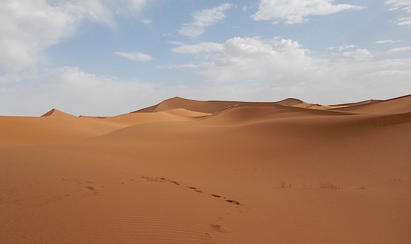
Erg Chigaga is the largest and least visited erg in Morocco. If you travelled the main route from Zagora to M'hamid Ghizlane you would find that the tarmacadam ends at M'hamid and the desert takes over. M'hamid is in the Draa-Tafilalet area and on the wadi Draa. It is about 24kms from the border with Algeria, which is a closed border and patrolled. The Draa effectively maps the border between Morocco and Algeria as it runs south-west towards the Atlantic coast and the disputed Western Sahara.
An erg is a large sand-sea or dune system created by wind-blown sand. They are usually found downwind of areas of large amounts of dry, loose sand which is then blown [downwind] to a point where topographic features slow or stop its progress creating the vast sand-seas and sheets.
Sand from these large areas actually 'migrates' downwind over hundreds of kilometres and some of the large dunes have formed over millions of years.
A settlement here (M'hamid) probably dates back to about 3000BC as it once had large oases but as the Draa dried and the date palms reduced so did the population. Today it is the start point for journeys into the desert.
Near to M'hamid is the ethnographic museum at Ouled Driss, a 17th century ksar (fortified village) which still has around 150 families living within it. The qaid's (local chief) house has some wonderful displays of historical items dating back some 500 years.
There is also Ksar Bounou whose remaining structures are about 200 years old. From the outside the ksar looks abandoned but families do live within its walls. Sand is now beginning to enter the passageways giving it an even more abandoned feel.
The ksar sits on a strategic point on the Draa and gives a glimpse into the ancient pastoral way of life that most would think impossible in such an environment.
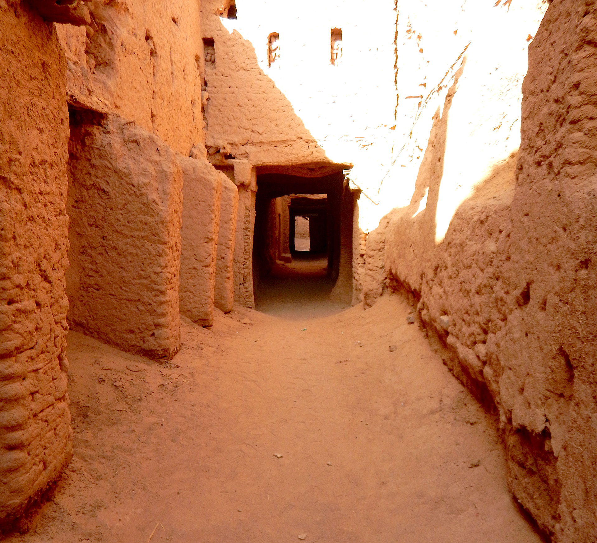
Ksar Boudou
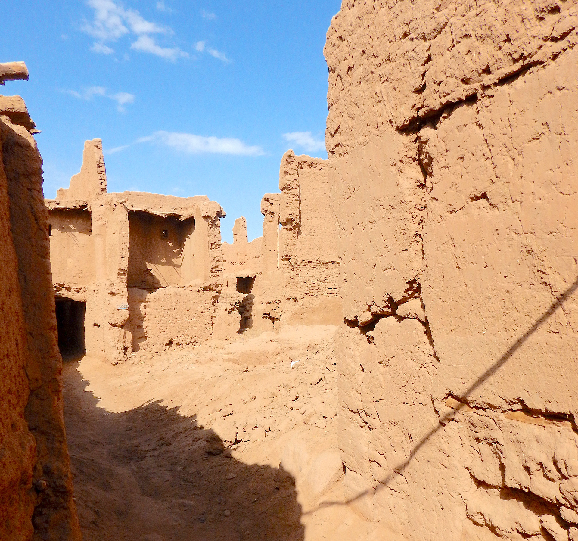
Ksar Boudou
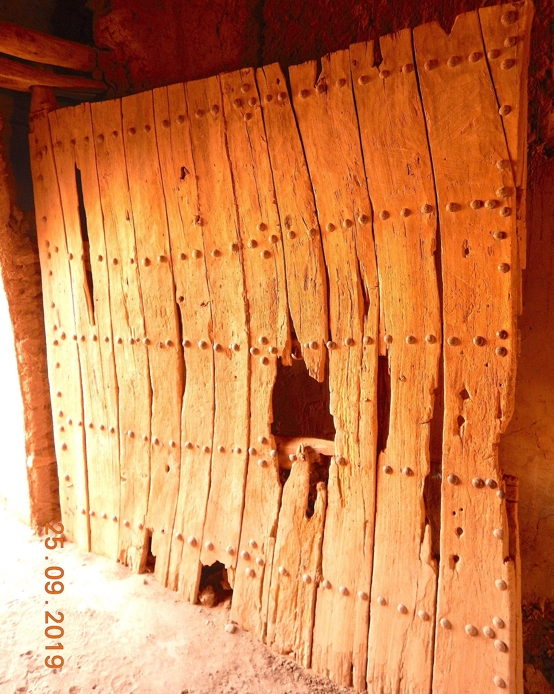
Ksar Boudou Gate
From M'hamid I headed into the desert and Erg Chigaga with my friends Ibrahim and his son Lahcen. We were checking bivouac areas and ultimately the linear route to be trekked across the desert from M'hamid towards Foum Zguid.
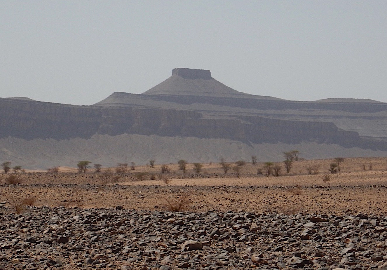
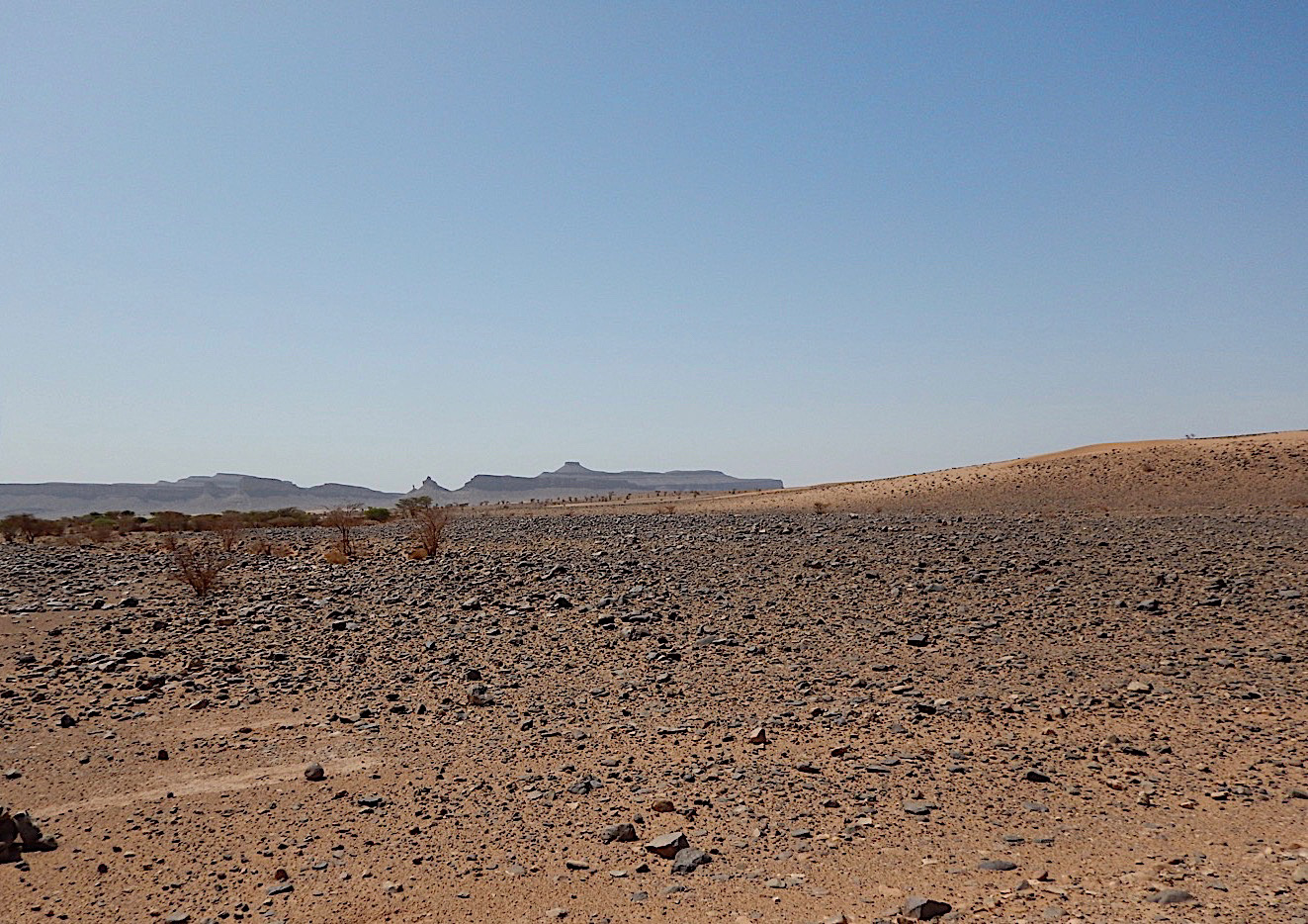
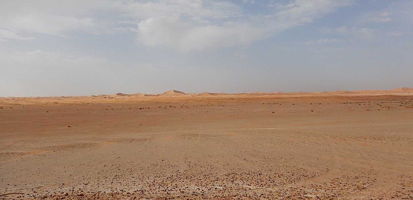
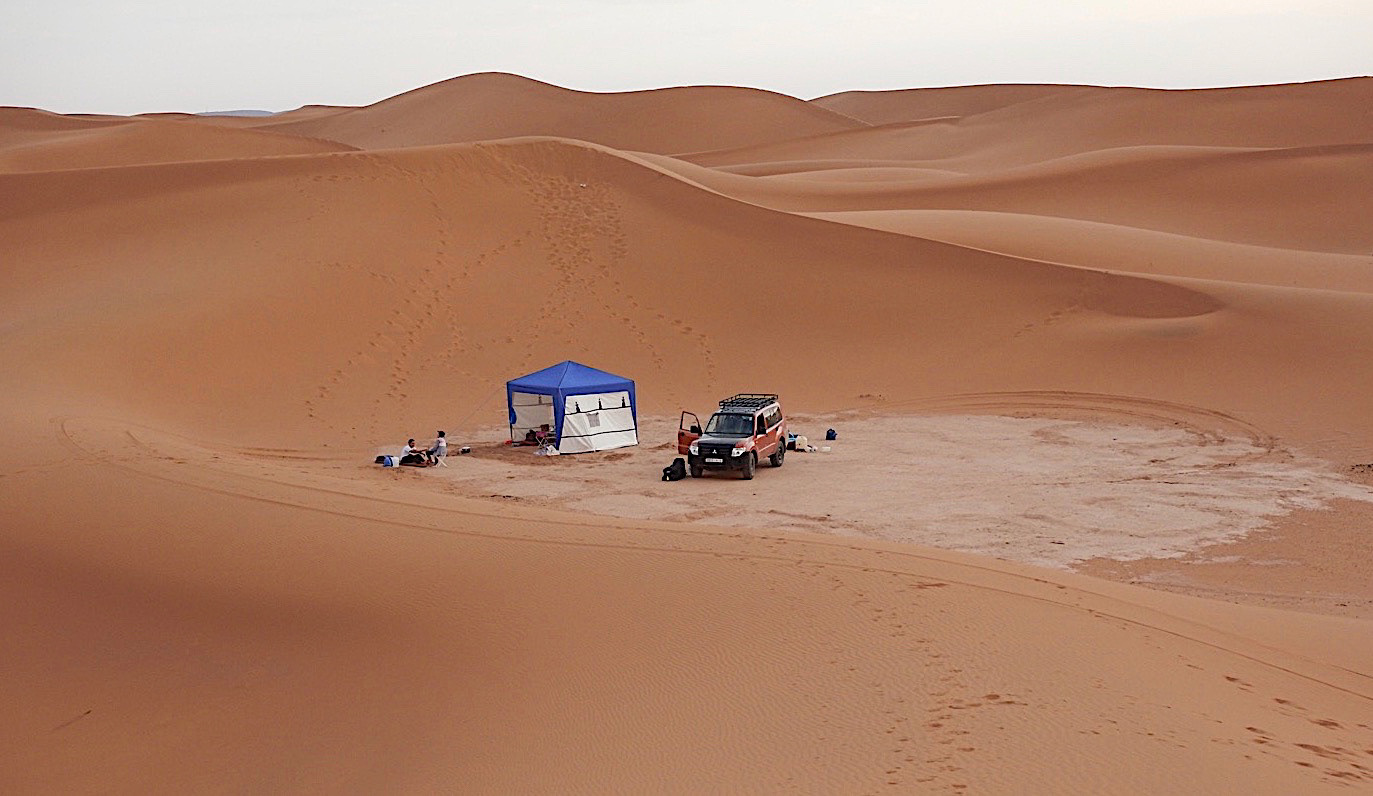
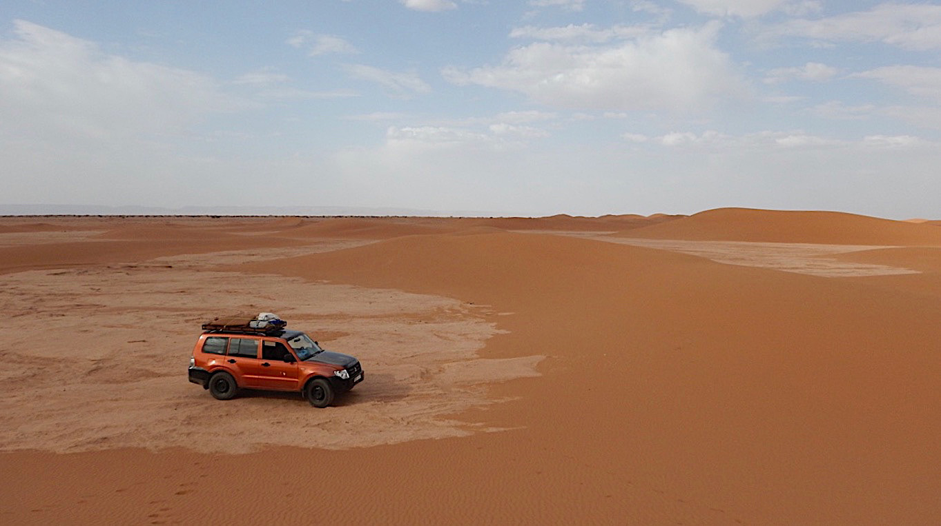
Travelling generally west from Chigaga towards Foum Zguid one arrives on the Iriqui Plain. In 1994 the Iriqui National park was set up to help protect the area.
During the wet season a lake forms and this becomes a temporary wetland for flamingo and other wildfowl making it an important ecological area.
There are still some nomadic Berber who bring livestock, mainly goats, to the area when the rains create good grazing. Their nomadic route takes them towards Tan-Tan in the west and then east around the southern Anti-Atlas and back to Iriqui.
From Foum Zguid we headed across the Anti-Atlas to the high pass Tizi n'Test.
Jebel Irhoud is an archaeological site near to Safi. It was discovered in 1960 when human remains were discovered within a cave. In 2017 the remains were assigned to Homo sapiens and dated to about 300,000 years ago making them by far the earliest known examples of Homo sapiens. Morocco is a truly amazing country historically, geologically and archaeologically.
Crossing the Tizi n'Test the rock strata exposes the huge, tumultuous movements of the Earth's surface, clearly showing where the upheaval has taken place as horizontal strata becomes vertical.
The Anti-Atlas in the south once rivalled the Himalaya. Remains of the chain can be seen in the Eastern United States and in the Appalachians!
The Tizi n'Test is a pass in the High Atlas connecting Asni, and Marrakech, in the north to Taroudannt in the south. The pass is at 2093m (6867ft) and is described as challenging in places. Asni was our destination as there we would turn onto the road to Imlil.
Southern road to Tizi n'Test
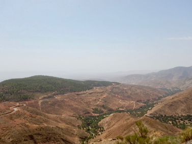

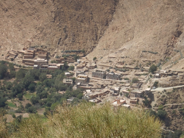

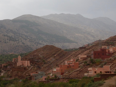
Having travelled over the pass we began the descent into the valley through which runs the Oued N'Fiss. This is the traditional land of the Goundafa tribe, one of several powerful tribes that sought to control the High Atlas during the 19th century. I have made mention in some of the other posts of the Glaoui dynasty and the Glaoua tribe of southern Morocco who built the kasbah at Telouet. The Glaoui attacked the Nfiss valley as part of the strive for power. To put some of this into perspective, Thami el Glaoui, who died in 1956, and was head of the tribe amassed a fortune around $50 million. He attended the coronation of Queen Elizabeth II as the guest of Winston Churchill, not bad for a tribal chief.
Travelling through the valley I wanted to visit Tinmel (Tinmal). The mosque here is one of only two in Morocco that is open to non-Muslims. Going further back in time Tinmel, a small mountain village, was the seat of power of the Almohad empire and where Mohamed Ibn Tumart, the founder of the dynasty, launched his offensive against the Almoravids resulting in the seizure of Marrakech in 1147.

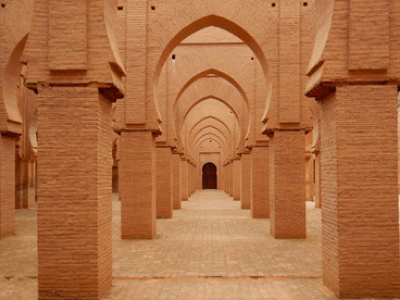
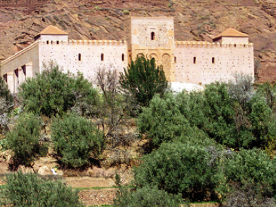
Tin Mal Mosque
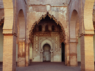
The mosque was added to the UNESCO World Heritage List. Built in 1156 to commemorate Ibn Tumart it has many similarities to Kutubiyya in Marrakech which was built by the Almohads after they conquered Marrakech. If you have been to Marrakech you will certainly have seen the mosque and minaret.
I returned to Imlil and had a quick jaunt into the Toubkal Masiff. I was looking at an alternate route from Toubkal, via Aguelzim (3650m), the waterfalls near Enebro (Cascades d'Irhoulidene), Tamsoult (2250m) and Mzik. Walking over from Tamsoult and Tizi n'Mzik to Imlil there are some wonderful old Juniper trees, some perhaps reaching 200yrs of age. If they could only tell their story.
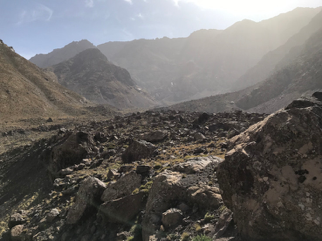
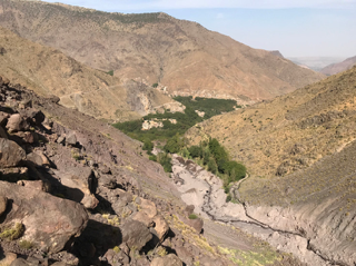
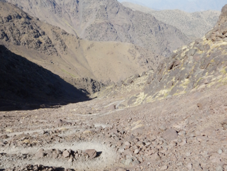

The power of a rushing torrent of water from the mountains is hard to imagine. Just prior to my arrival in Imlil the river flooded. The rocks and boulders brought downstream were huge. They were taller than me, they were over 6' in height. Thankfully no-one was hurt, unlike 1995 when about 150 people were killed in a catastrophic flood.
Post Script: The 2023 earthquake badly damaged TinMal Mosque and the village of Asni. I shall be returning in July 2024 and hope to revisit the mosque.